How accurate are drone surveys?
How accurate really are drone surveys? Drone data for surveying is really “aerial data” and can be split into two camps of data types: photogrammetry and LiDAR. Drone data capture works similarly to other aerial capture methods, whereby high-resolution cameras and thermal/multispectral sensors attached to a drone are flown over an area of interest collecting data.
The differentiating factor for drones over other forms of aerial data capture is that they can get far closer to the site, which can lead to greater levels of accuracy and higher detail. To read more about the logistics of a drone data capture and how it works, please check out our previous blog, ‘What you need to know about surveying with drones’.
What is accuracy and how do we measure it?
For every topographical survey, accuracy is a key consideration that must be taken into account when determining the quality and utility of your dataset. In remote sensing, accuracy is associated with the exactness of locating features in the data as they would appear in the real world.
Even though geographical data is merely an abstraction of the real world and can therefore never be truly accurate, modern tools and platforms can today, successfully map our landscape and environment with precision, providing reliable data sets to users.
These are typically the key factors that affect the accuracy of data collected via drone:
- GSD (ground sampling distance)
- GNSS availability (Global Navigation Satellite System, the standard generic term for satellite navigation systems)
- Data clarity and quality
- Data redundancy
- Topography
- Environmental/Meteorological conditions
The two types of geographic accuracy associated with remote sensing are:
Relative accuracy
Relative accuracy is how close a measured value is to a standard value on relative terms. For example, if you measure the width of a standard railway track in the real world, you should get a measurement of 1435 mm. The closer your measurement for this is in your dataset, the better your ‘relative’ accuracy.
Absolute accuracy
Absolute accuracy is how close a measured value is to a known absolute true value, i.e. an object’s true geographic location. For example, the corner of a building’s geographic location in the real world compared to its perceived location in the dataset. This is a comparison between the XY and Z coordinates between the derived dataset and the real world.
Generally, the closer a sensor can get to the object when capturing data, the more accurate the results will be. However, the closer the drone flies to the ground, the longer it will take to cover the area of interest.
What accuracy can be achieved with a drone survey at Sensat?
You can expect to see relative accuracies of 1-2x your GSD on XY and 2-3x on Z in a properly corrected model. For a SenseFly eBee X drone flying at 120 m, you’d expect a relative accuracy of 25-50 mm on the XY-axis and 50-75 mm on the Z-axis.
For a self-sustained drone survey that doesn’t need to be integrated with other geospatial systems, relative models can work just fine. However, in professional-grade surveys where other spatial data, such as LiDAR, CAD, etc., requires integration, the captured data must have high absolute accuracy.
The absolute accuracy of a drone survey will be affected by the relative accuracy of the images. A survey conducted using a poor-quality camera will not allow every location on the image to be highly accurate against an absolute coordinate reference system.
Our guaranteed accuracy of a drone photogrammetry survey:
RMSE XY: +/- 50 mm Z: +/- 50 mm
Sigma 1 XY: +/- 50 mm Z: +/- 75 mm
Sigma 2 XY: +/- 100 mm Z: +/- 150 mm
With modern technology, Sensat has seen that these numbers are often ‘worst-case’ scenarios for drone photogrammetry as we regularly exceed these figures.
In the image below, Sensat used a fixed-wing drone (SenseFly eBee+) to capture 6.4 sqKM of the High Speed 2 project. The drone flew at a height of 120 m (400ft), capturing a total of 9,000 images. The ground sampling distance was an average of 25 mm. The images were georeferenced using the Trimble Virtual Reference System (VRS), which gives virtual corrections for RTK6 over the internet with an average correction accuracy of 24 mm.
Your project goals, stage, and required data outputs will ultimately determine which data capture method and level of accuracy is best suited for your project. For example, early-stage designs may only require an accuracy of a few centimetres in comparison to a live rail project that demands accuracy of a few millimetres. A client considering a stockpile survey will require a different level of accuracy than a project with complex topographic contours.
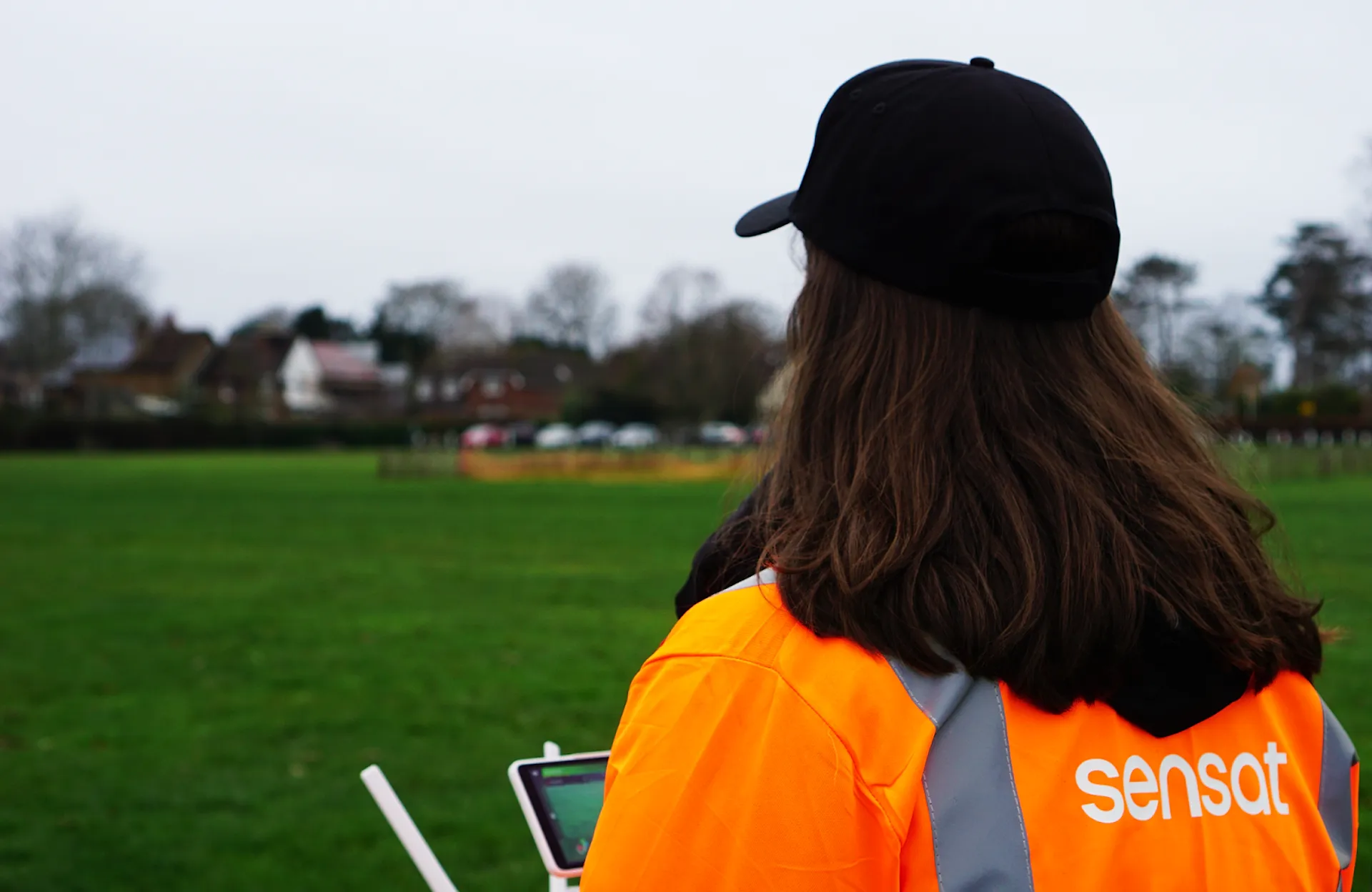
Sensat prides itself on being industry leaders in drone data, quality and accuracy. Through the use of drones, we are able to collect and visualise up-to-date and highly accurate data that is valuable throughout the different design and construction stages of any infrastructure project.
To find out more get in touch here.