How National Grid sped up design optioneering at Didcot


National Grid needed to connect a new power cable for a data centre in Didcot, Oxfordshire.
They had a tight option delivery deadline and a site that was hard to reach. They brought in Sensat, the infrastructure intelligence platform, to give the delivery team real-world visibility of the site, speed up option selection, and cut down in-person land access.
The result: designs, surveys, imagery and boundary data in one place, against the real landscape - so every team could make faster, more confident decisions from their desk.
Information was scattered across tools.
Information was scattered across tools.
Large point cloud data was in software the whole team couldn't open and existing LiDAR sat unused in the archives that teams couldn’t access. When every team works in different tools, key information stays hidden - and people end up working from the wrong version.
Keeping everyone aligned took too long.
Contractors and subcontractors all needed to participate in the option selection process simultaneously. Doing that the old way meant repeated meetings, phone calls and site walks so everyone fully understood the specialist information and get everyone on board, with a constant risk of decisions being made on outdated designs.
Getting to site was slow and costly.
With some of the project team located in York, it would take some of the team up to 5 hours to get to the site for a site walkthrough, sometimes just to take a quick measurement.
A section of the land was owned by a third-party, which meant gaining access was a time-consuming challenge.
How Sensat was used
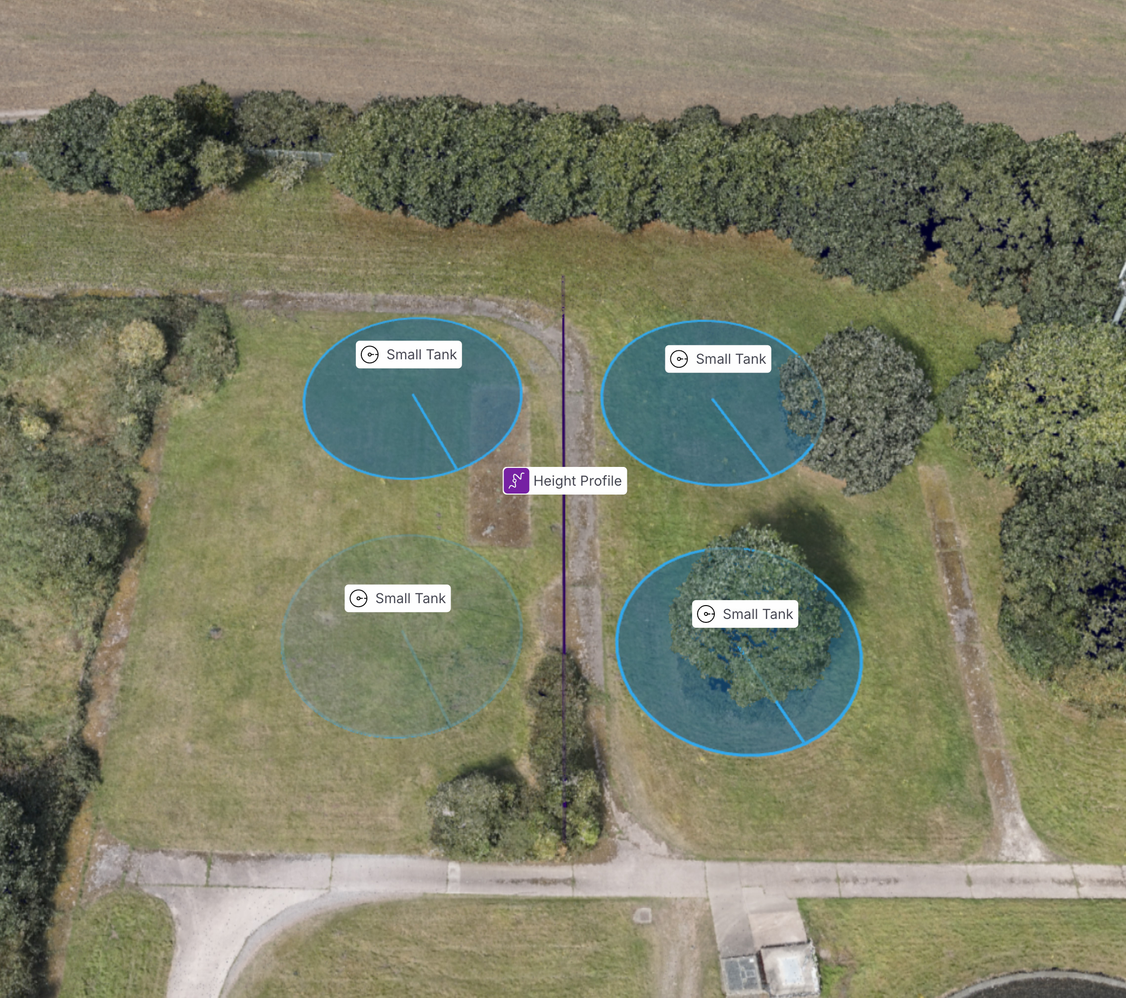
One place for everything. Sensat captured a real-world base map of the Didcot substation using UAVs. National Grid layered their own data on top - LiDAR, subcontractor design options, and context including National Grid boundaries, overhead line cables and third-party boundaries. Teams worked together in a single environment instead of switching between tools.
One source of truth. Version-controlled data meant everyone could reach the latest information from their desktop. In design reviews, the real-world site replaced static PDFs - giving proposed designs real context and cutting the back-and-forth between teams.
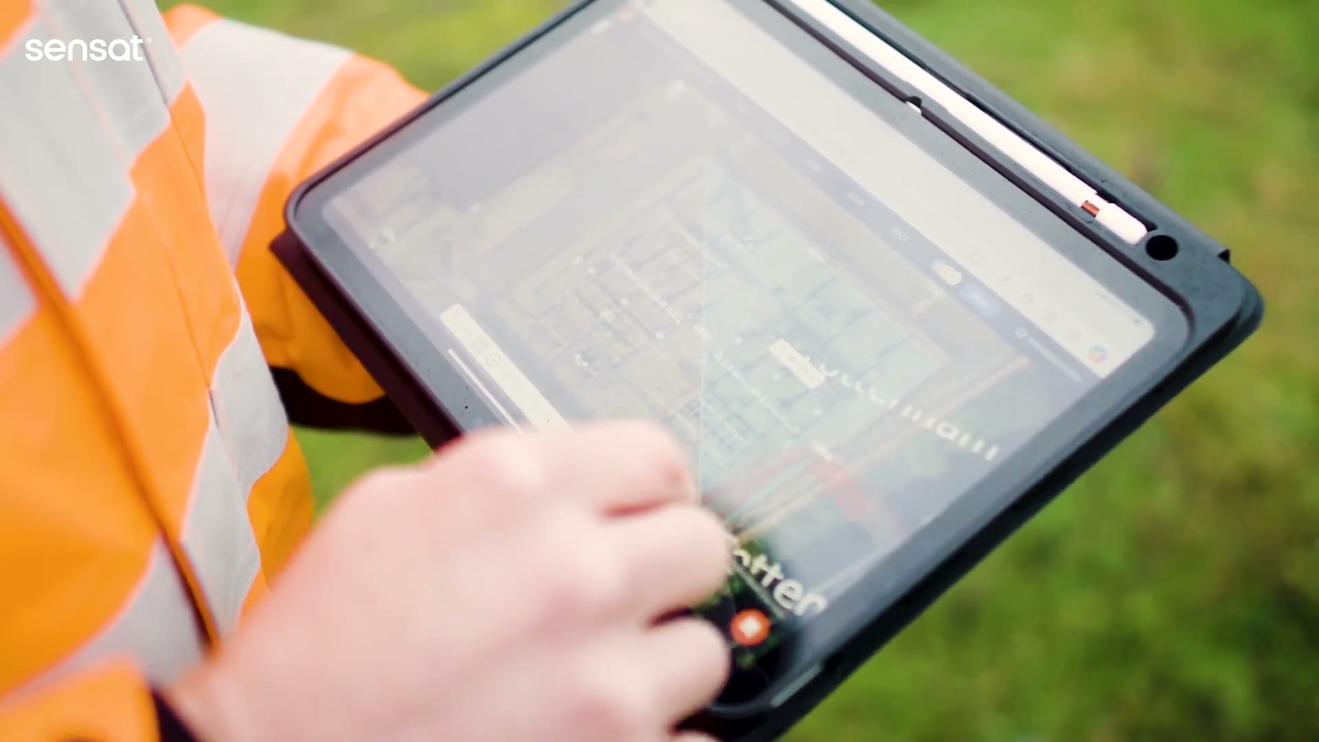
Site walks from the desktop. Teams accessed Didcot in 2D and 3D from their laptops, taking accurate height and distance measurements to verify overhead lines and identify risks - without travelling to site or arranging third-party land access. This minimised the need for additional topological surveys
The Results
Why this mattered
With options settled faster and every team working from the same real-world picture, the programme was able to be progressed with more certainty. For National Grid, all of this meant safer worksites and better environmental outcomes.