
sensat for water sector
Visit every AMP8 site without leaving your desk
Bring scattered project data together in a 3D site environment to assess risk, test options, and build gate evidence across your capital programme.
Talk to us

Trusted by water companies with the highest EPA ratings

.webp)


Bring up-to-date surveys, asset records, site imagery, and constraints together in one place. View every layer on high-resolution 2D and 3D base maps, so teams can explore what data already exists.
Overlay design options against terrain, environmental, and asset constraints in one view. Reposition elements to see what fits, and calculate earthworks volumes to assess feasibility, all without a site visit or specialist input.
Pull surveys, designs, and site data together in one workspace per gate stage. Present evidence as a guided walkthrough so reviewers can trace every decision back to the data behind it.
Walk any audience through project decisions with guided presentations and realistic imagery that brings your scheme to life. Surface relevant data on the spot to answer questions live, so queries get resolved there and then.
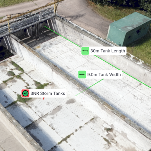
Normally site visits cost around £40k. Sensat means we don't need as many and when we do go, we're far more prepared


The ability to both accurately scan the site, and confidently pull together lots of disparate data into one single platform, is amazingly powerful. The speed of iteration really helps for quicker incident response, more efficient handover processes, and better clash detection to reduce contingency costs.

Sensat provides clarity for everyone involved, meaning less time is spent hopping between tools, asking for updates or searching for the latest versions of files.

Sensat is a real game-changer. It has aided our visual clash detection and planning, significantly reducing the time taken in the process.


