How National Grid plans the Great Grid Upgrade from one shared view to spot risk earlier


A portfolio-wide platform for the Great Grid Upgrade
To solve this, National Grid deployed Sensat as a portfolio-wide Infrastructure Intelligence Platform. By centralising CAD, BIM, and GIS data into a single, real-world digital environment, teams can move from reactive planning to proactive delivery.
Sensat is currently being used on the North London Reinforcement Project. It manages six substations and four overhead line routes between Hertfordshire and Hackney. The platform helps teams test options faster, de-risk site work, and rethink how critical UK infrastructure is delivered.
The Cost of “Information Lag”
On major transmission projects, designs, surveys, schedules, and site updates are scattered across different tools. This means teams rarely end up working from the same page.
- Information Silos: Critical data (CAD, BIM, GIS) is often trapped in disjointed tools, leading to an “information lag” where teams work from different versions of the truth.
- High-Risk Planning: Relying on outdated 2D drawings and static imagery makes it difficult to spot real-world clashes, often resulting in discoveries mid-excavation that cause major delays.
- Collaboration Barriers: Inefficient site verification and communication require repeated physical travel, increasing costs and health-and-safety exposure for engineering and planning teams.
Every site and route in one browser-based view
Sensat is an Infrastructure Intelligence Platform that provides a browser-based environment where all the data comes together against the real landscape. It's built to be fast, intuitive and easy to use, so it isn't limited to specialists.
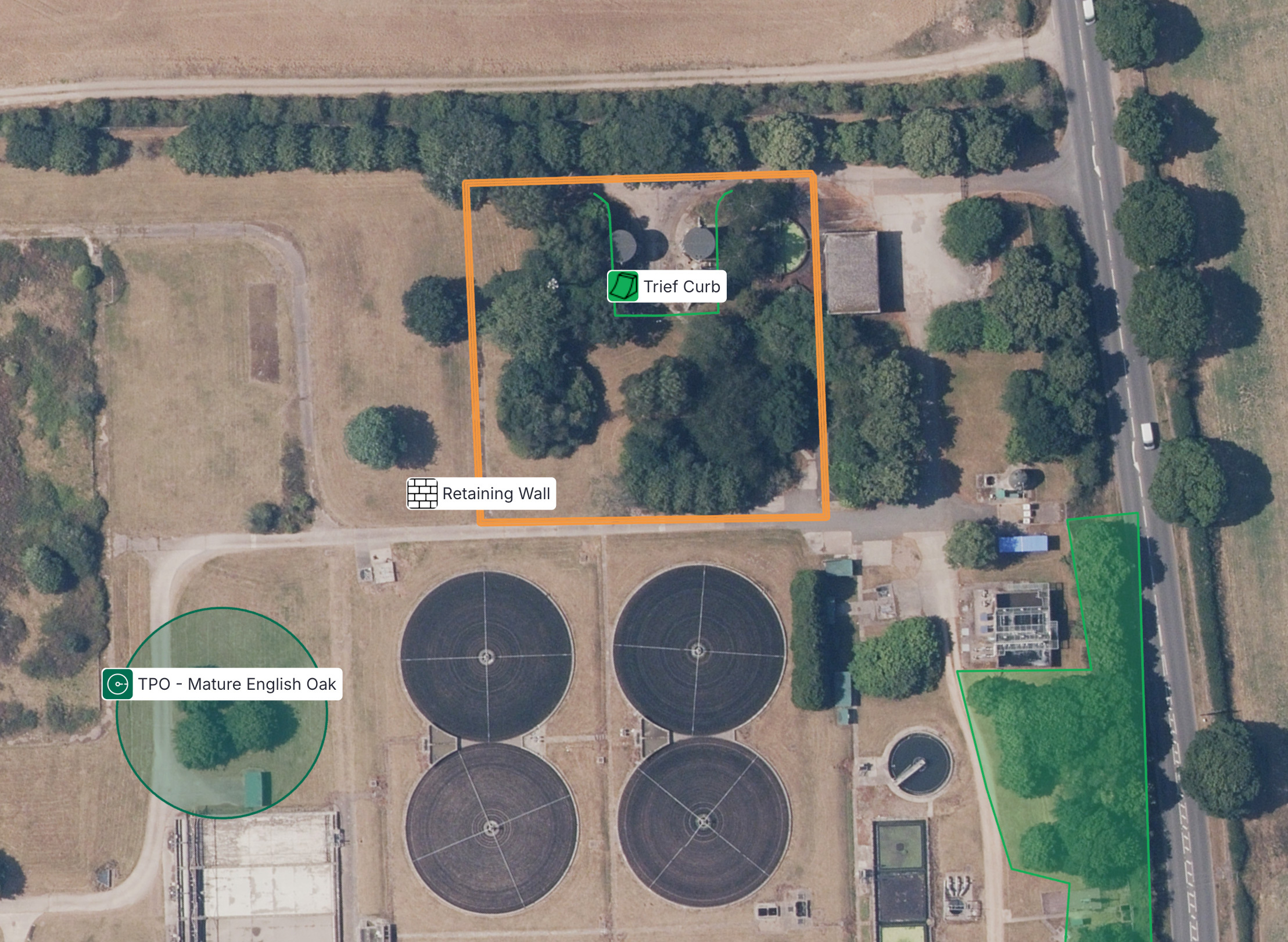
Teams combine CAD, BIM and GIS designs with reality capture, then use the 2D top-down view - with high-quality imagery - to walk people through each site and along the overhead line routes.
Options can be tested in context before one is taken forward, so the team can find the most cost- or time-effective approach early. P6 schedules are uploaded and 3D models associated with each stage, so the timeline can be stepped backwards and forwards to explain construction sequences clearly. Since the site exists as an accurate real-world view, site walks, measurements and inductions can be done remotely rather than in person.
Better decisions, made earlier
Hitting connection dates on programmes of this scale
National Grid is incentivised to accelerate project delivery. Making better decisions earlier is what protects the programme: it reduces rework, surfaces risk sooner, and improves collaboration across engineering, planning and stakeholders.
On programmes of this scale, that's the difference between hitting your connection dates and missing them - as on the North London Reinforcement Project.